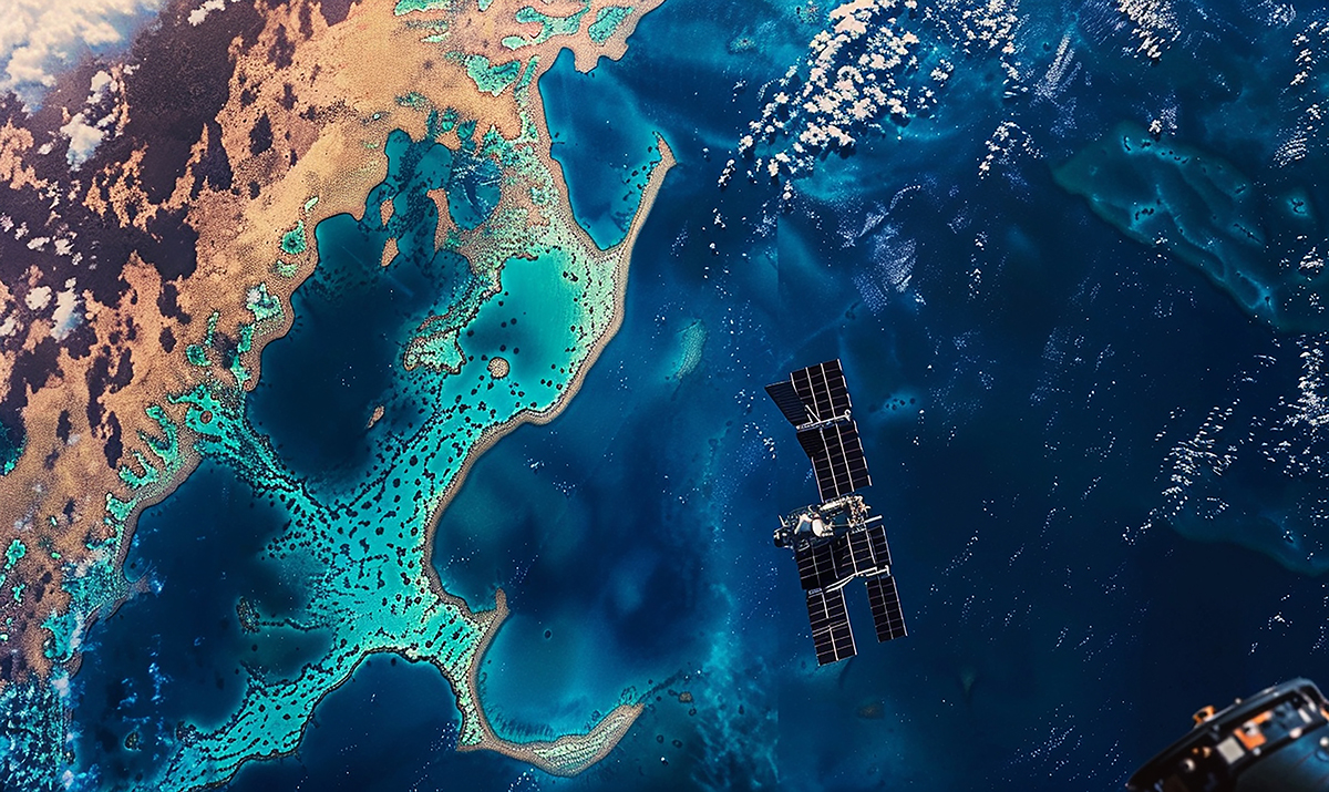
Geospatial intelligence algorithms:
Geospatial intelligence algorithms will fuse satellite and UAV images and employ advanced AI-assisted computer vision to detect maritime anomalies, such as unregistered vessels or unusual movement patterns.
Detected/classified incidents will generate necessary data for improving both navigation and real-time decision making.